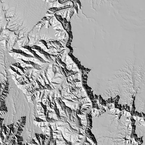
Shaded Elevation Models generated from selected Elevation Data sets.
A great visual aid to further accentuate natural terrain elevations.
|
|
|
-
Shaded Elevation Models can be added as an additional file to your current Elevation Data selections.
-
Available in UTM, State Plane or Latitude / Longitude Projections.
-
Models are Geo Referenced and available in:
- GeoTIff Format with ".tfw" and ".tab" world files
- JPEG Format with "jpw" world file.
-
Simply select the Optional Shaded Elevation Models during Checkout.
A small charge will be added to your cart once selected.
|
|
|
|
|