National WetLands Inventory Vector Series
|
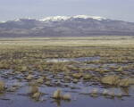
Users of National Wetlands Inventory vector data are as varied as are the uses. Wetlands data is used by all levels of
government, academia, Congress, private consultants, land developers, and conservation organizations. The public makes
extensive use of National Wetlands Inventory vector data in a myriad of applications including planning for watershed and
drinking water supply protection; siting of transportation corridors; construction of solid waste facilities; and
siting of schools and other municipal buildings. Resource managers in the Service Sectors and the States are provided with
Wetlands data which are essential for effective habitat management and acquisition of important wetland areas needed
to perpetuate migratory bird populations as called for in the North American Waterfowl and Wetlands Management Plan;
for fisheries restoration; floodplain planning; and endangered species recovery plans. Agencies from the
Department of Agriculture use the maps as a major tool in the identification of wetlands.
|
|
Current Wetlands Map Availability
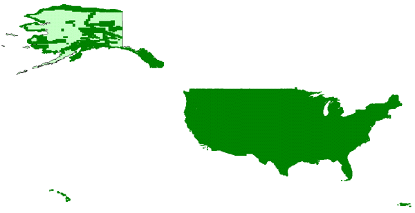
Complete coverage of the Continental US, Hawaii, Puerto Rico and Virgin Islands
partial coverage of Alaska.
|
Wetlands data is available from ChartTiff as individual 7.5 Minute quad areas.
Includes Wetland data and Riparian data if available.
The data is available in:
ESRI Shapefile, AutoCAD DXF and AutoCAD DWG formats.
The data is available in:
UTM, State Plane, Latitude / Longitude and Web Mercator projections.
|