|
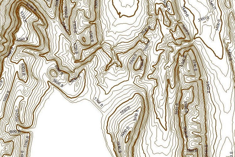
ChartTiff Contours are derived from the LATEST 10-Meter USGS 3DEP (3D Elevation Program).
ChartTiff Contour quads and custom area Contours are available in a variety of Formats and Projections for easy input into various GIS applications.
|
|

USGS 10-Meter 3DEP Generated Contour
|
3DEP - 3D Elevation Program
-
Horizontal Resolution
10 Meter
(1/3 Arc Second)
resolution for Continental US
-
Vertical Resolution: 1 DeciMeter or 10 CM or approximately 4 Inches.
-
Vertical Datum: NAVD88
-
-
Individual Quads available in:
-
ESRI Shapefile format
-
AutoCAD (DWG & DXF) Formats
-
Available Projections
-
UTM - User Selectable Zones - NAD27 / NAD83 / WGS72 / WGS84
-
State Plane - User Selectable Zones - NAD27 / NAD83
-
Latitude / Longitude - NAD27 / NAD83 / WGS72 / WGS84
-
Web Mercator
- WGS84
-
Contour Units (selected during check-out)
-
Select 5, 10, 20, 25, 30, 40, 50, 60, 80, 90, 100 Feet / Meters
-
Other Intervals available by request
-
ChartTiff Contours are NOT available as 1 Free Download
-
ChartTiff Contours are sold by:
-
A Shaded Elevation Models is added as an additional file.
|
|
|
|

